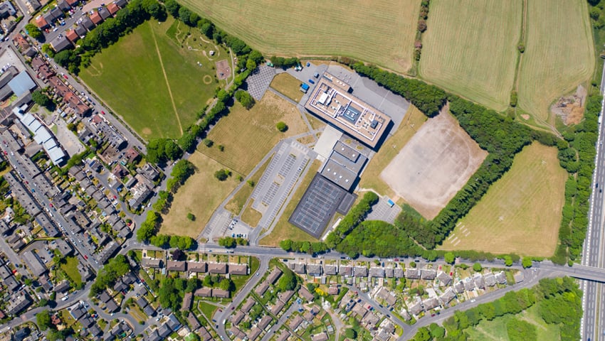
THE Food, Farming and Countryside Commission says that “the time is ripe for a Land Use Framework for England”.
They say that, “England is one of the most densely populated countries in Europe, and the pressure on land is growing. Commitments to supercharge clean energy, plant trees, restore nature, build housing, tackle flooding and provide food for the nation all rely on land – and we can’t make more of it.”
Finding ways to manage competing demands on land is complex and difficult. Land use is too often presented as a binary choice – either we have new affordable housing or improve people’s access to healthy green space; either we preserve ancient woodland, or we introduce greener transport.
The FFCC says, “We urgently need a different approach to land use, meeting multiple needs, to find better solutions overall.”
A Land Use Framework enables both national and local policymakers, businesses and communities to navigate better the pressures and opportunities already in front of them. It’s a way to manage competing needs and bring people together.
It could help ensure that new housing developments are close to jobs and public transport, solar panels are put in the right place, healthy food is accessible within communities, rivers are kept clean and much more.
A Land Use Framework should also mean better decisions are made about how land is used – that new housing developments are close to public transport, that wind turbines are placed in optimal locations, that healthy food is accessible within communities, that rivers are kept clean, that nature is protected and much much more.
The FFCC has been testing Land Use Frameworks in Devon and Cambridgeshire, counties with stark inequalities and multiple pressures on land. Working together with local government, farmers, landowners and communities the FFCC has been designing decision-making processes for these areas.
In Devon, a series of places and projects in the Exe Catchment, where land use decisions are already being considered, is testing the framework tools and processes. Work is also underway with the Geospatial Commission and British Geological Survey to co-design a land use decision support tool that could help decision makers manage real world land use challenges.
In Cambridgeshire, a spatial modelling prototype is being developed to bring together different data and priorities, which will be tested alongside the framework in ongoing scenarios and processes.
These pilots have already led to the following key learnings:
- Local decision-makers are best placed to decide on suitability of land and benefit to their community
- A national framework can both guide and aggregate local decisions, ensure national targets are clear, and met, and help with local commitment and access to necessary information
- Cross-sector leadership from the outset enables better decisions
- Accessible, spatially-explicit data leads to better outcomes
- Inclusive and transparent public involvement is key to reducing conflict and delays
The FFCC will publish its Rough Guide to Land Use Frameworks soon
