THE Argyll and The Isles Coast and Countryside Trust (ACT) says that fast-growing rhododendron poses a huge threat to the future of their unique rainforest in Argyll. But drone technology is helping to survey the spread of the invasive shrub more quickly and accurately than ever before, making it easier to create a robust plan to tackle it.
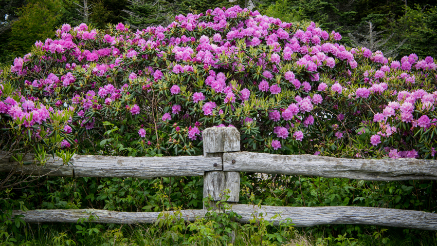
They say, “Walk through remnant temperate rainforest in Argyll and you’ll encounter native trees such as oak, ash and birch dripping with lichens, mosses and liverworts. Ferns and fungi, alongside a mix of bryophytes, carpet the woodland floor. Butterflies, songbirds, red squirrels and pine martens are among the inhabitants of this increasingly rare native habitat. Half of what remains of Scotland’s rainforest can be found in Argyll and Bute, but it is under threat from Invasive Non-Native Species like Rhododendron ponticum, which spreads rapidly and creates dense colonies that drown out our native species.”
ACT says that that’s why it is working with landowners in Knapdale, where rhododendron is particularly widespread, to survey the extent of the invasive shrub. Drone technology makes it possible to build a detailed picture of the distribution of rhododendron over a large area.
Initial analysis of drone imagery is to identify rhododendron across the site. The data could be used in future for analysis of other species but for the purposes of this project, we are quantifying Rhododendron only.
Working with local landowners, the drone flights have covered three key areas of Knapdale. Starting in April, before the trees came into leaf for the season, ACT surveyed over 900ha using drones for the first time.
ACT woodland coordinator, Philippa McKee, said, “We’re really pleased with the results. The data is incredibly detailed and we’re able to make really accurate assessments of the coverage and distribution of rhododendron. We’re now finalising our analysis by getting out there in person and assessing some targeted areas on the ground.”
ACT says it’s important to also consider the logistics for future control and treatment, for example, where access could be tricky as the ground is very steep. Using a combination of drone and on-the-ground surveys is proving successful so far and will give them the information they need to plan their approach.
McKee said, “The management of such a large and unwieldy dataset has not been without its challenges. But we are pleased to be making progress and are confident that the data is giving us the level of detail that we need to map accurate quantities and costs.”
Landowners around Knapdale have been supportive of the initiative and have committed to tackling rhododendron for the benefit of Argyll’s native habitats. ACT is now sharing the findings with individual landowners and using the new data to work out and cost a plan for dealing with rhododendron in the area. Working out the best way to fund the clearance of rhododendron is, they say, the next crucial step in the process.
McKee concluded, “There is no doubt that the scale of this task is considerable. It will require a long-term commitment to stand the best chance of succeeding in the landscape-scale sustainable clearance of rhododendron. And, ultimately, the restoration of native woodland in the heart of Scotland’s rainforest.”
This project is supported by the Scottish Government’s Nature Restoration Fund, managed by NatureScot, and Scottish Forestry.