Scientists have mapped England’s peatlands to a level of extraordinary detail never achieved before – revealing their worrying, degraded state and need for recovery.
The England Peat Map is the most complete map of England’s peatlands and peaty soils to date and one of the world’s most comprehensive peat maps in existence.
Natural England’s Chief Scientist Dr Sallie Bailey said, “Trying to map something that’s largely underground, changes in volume depending whether it’s rained recently, and tries to swallow you up every time you set foot in it comes with its challenges, which makes this map extraordinary in its accomplishment and something of a global first.
“Mapping peat to this level of detail will help us maximise the benefits of peat and massively advances our understanding the role our peatlands are playing in a changing climate.”
Peatlands are a critical natural resource providing essential public goods such as carbon sequestration, water purification and storage – helping protect communities from flooding.
The map models the extent, depth, and important aspects of the condition of our peat, including vegetation, and even shows gullies and man-made and natural drainage channels and has been produced using cutting edge techniques.
Researchers used AI, satellite data from the European Space Agency, individual data sets from field surveys and modelled to identify the likelihood of peaty soils, and marks a step change in our ability to make decisions about land use and target conservation activities where they’re most needed.
The map, published alongside key research, shows:
- Peaty soil covers roughly 8.5 per cent of England’s surface
- Around 80 per cent of England’s peatlands are in dry and degraded states, making this an area in need of urgent action
- Around three quarters of our peat is covered by plants and land use types associated with dryer conditions such as heather, while only 1 per cent is covered by important peat forming plants such as sphagnum moss
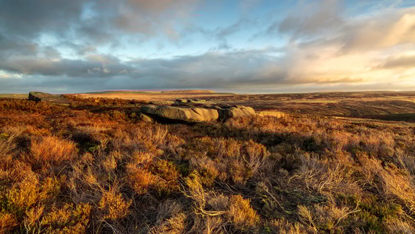
- The most extensive peatland habitat is to be found across the Pennines, North York Moors, parts of the Lake District, and in the uplands of the South West
The findings present a worrying picture of widely degraded peat from the blanket bog most associated with our northern uplands to the lowland deep peat found most commonly in the fens of the East England.
Degraded peat also emits carbon, meaning that our peatlands are releasing carbon into the atmosphere and helping drive global heating. Understanding how much peat we have is the first step to calculating how much carbon it holds and how much it’s releasing – vital information as we work together to combat climate change.
The open source map, available on gov.uk, will empower land managers and key decision makers to better understand and restore the nation’s peatland – for example, blocking drainage channels to re-wet the land and support better informed decisions on how to effectively balance biodiversity and carbon storage with food security in some of England’s most fertile farmland.
Restoring peatland will bring benefits for nature, communities, and the wider economy. Estimates suggest restoring 55 per cent of peatland to near-natural condition will have a value of around £50 billion in reduced carbon emissions, while their value as a source of drinking water and recreation space is worth many hundreds of millions of pounds.
Nature Minister Mary Creagh said, “Our peatlands are this country’s Amazon Rainforest and in desperate need of restoration and protection, as this mapping and research work starkly demonstrates. That is why we have announced up to £400m for nature restoration, including of our peatlands, and are consulting on new plans to extend the ban on burning deep peat.”