England’s non-woodland trees have been mapped for the first time, revealing these trees make up nearly one third of our nation’s tree cover.
Using LIDAR remote sensing, which involves the very latest methods of laser detection and satellite imagery, scientists at Forest Research have been able to build a comprehensive picture of non-woodland trees the breadth of England.
By providing a better national picture, the map will allow conservation groups and local authorities to identify locations of nature depletion and target tree planting efforts more accurately, even being able to pinpoint lone trees that could be easily connected to nearby wooded areas which would create better habitat for wildlife in support of the government’s manifesto commitment to expand nature-rich habitats and help achieve our legal target to increase England’s woodland canopy to 16.5 per cent.
Forestry Minister Mary Creagh said, “Our precious street trees improve air quality, mark the changing seasons and provide us with peace, shade and joy. Their value simply cannot be overstated.
“This ground-breaking new tree census will not only help us better understand our current tree canopy cover, but allow us to identify areas where we can create more nature rich habitats for wildlife and people to enjoy as part of our Plan for Change.”
Sir William Worsley, Chair of Forestry Commission said, “This has been a real endeavour by the team – the results are spectacular and will be invaluable to us as we strive to meet our legal target to increase tree planting cover.
“The map fills critical data gaps about our national tree assets, helping us understand this natural resource and the benefits it brings, including carbon storage. Many people – from citizens to governments – will use the map to make evidence-based decisions to improve management and protection of our trees.”
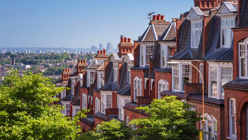
Trees outside woodlands are defined as single trees in urban and rural areas and are some of the most iconic trees in our landscape, ranging from sprawling tree-lined hedgerows to the much-loved trees on our streets and in our parks.
These trees play an important role in storing carbon, regulating temperatures, and mitigating against the impacts of climate change, such as flooding and over-heating of our towns and cities. They also have a huge role in improving health and wellbeing – not least by reducing the impacts of air pollution.